❯ Driving the Grossglockner High Alpine Road with BMW Enthusiasts...
| 09-22-2016, 10:24 AM | #1 |
|
Second Lieutenant
 
298
Rep 233
Posts |
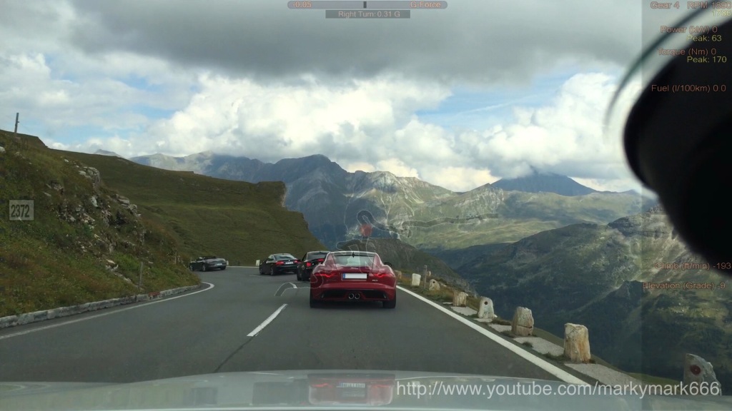
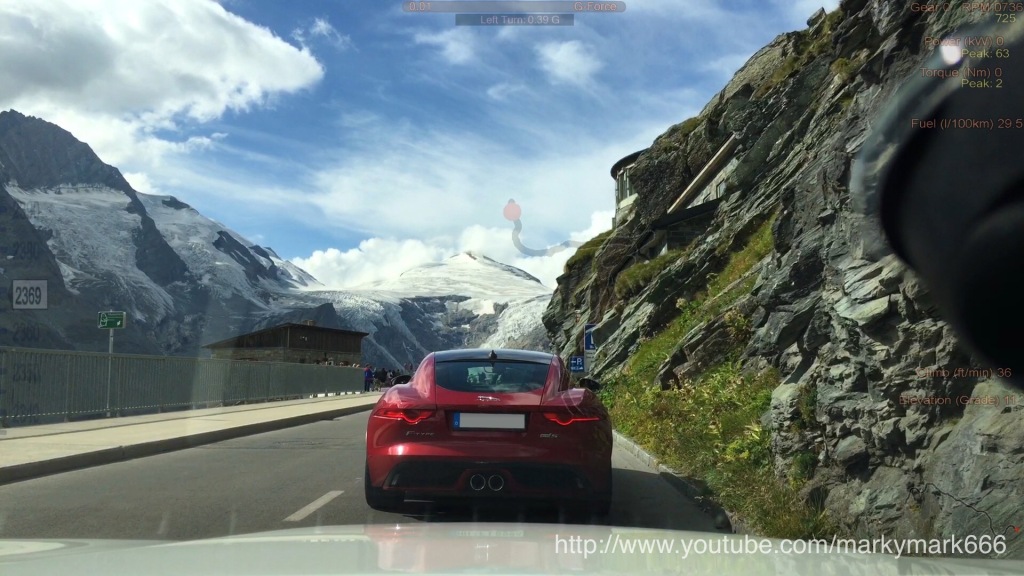
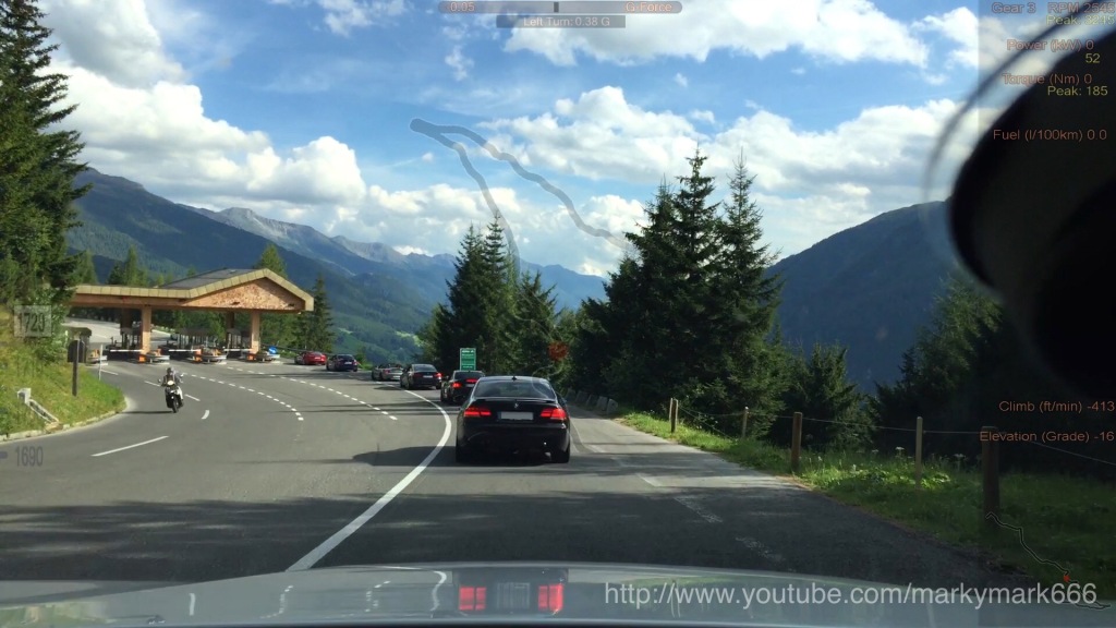
On the way to the "European 1Addicts-Sella 3.0" BMW-enthusiasts-meeting a group of hot BMW sports cars and a special Jaguar F-Type experienced the terrific Grossglockner High Alpine Road.
This part of the tour leading to South Tyrol was named "Getting Alpine High" Special thanks to Wade, Luc, Rudi and Dave!  Youtube Playlist Grossglockner High Alpine Road Drive Analyser RaceRender The scenic tollroad located near Salzburg in Austria connects with an overall length of 47,8 km the Austrian regions Salzburg and Carinthia. On its way it crosses the Alpine divide and two pass summits - the Fuscher Törl - Pass (2576m.a.s.l.) and the Hochtor Pass (2504m.a.s.l.). The toll road starts at tollgate Ferleiten and ends near Heiligenblut (both in Austria). On top it contains a detour to the famous Kaiser-Franz-Joseff-Height visitors centre at 2369m.a.s.l with a brillant view on the glacier and numerous 3000m-mountain summits. With its numered hairpin curves, slow and fast passages this highest surfaced mountain pass in Austria is effecitve one of the most sophisticated roads for driving enthusiasts. With 35€ the toll is very expensive but garantees hours of driving entertainment. The driving crew was formed from BMW M4, BMW M2, several BMW 135i a BMW M135i a BMW Z1, a BMW Z4 and a Jaguar F-Type S.        The route led the participants from tollgate Ferleiten to Kaiser-Franz-Josef-Height and Heiligenblut.  As pictures only can deliver a small insight into the experience the drive was captured in 5 hot  videos from tollgate Ferleiten to Kaiser-Franz-Josefs-Hight and Heiligenblut. The following picture helps to keep track of the action. videos from tollgate Ferleiten to Kaiser-Franz-Josefs-Hight and Heiligenblut. The following picture helps to keep track of the action. Hot pursuit of a Jaguar F-Type by a BMW M135i up the Grossglockner High Alpine Road from tollgate Ferleiten to Mittertoerl Tunnel Start at 1142m.a.s.l. Highest Point (Fuscher Törl): 2428m.a.s.l. 10:51:00 Destination (Mittertoerl Tunnel): 2327m.a.s.l. Total distance: 16.5 km Time: 15 min 40s Hot ride with a BMW M135i down the Grossglockner High Alpine Road from Hochtor Tunnel in direction to Schoeneck. Start at 2487m.a.s.l. (near Hochtor Tunnel) Destination (near Schoeneck): 1879m.a.s.l. Total distance: 6.3 km Time: 06 min 19s Hot uphill ride over the Grossglockner High Alpine Road from the roundabout near Schoeneck in direction to Kaiser-Franz-Josef-Height. Start at 1862m.a.s.l. Destination (Kaiser-Franz-Josef-Height): 2361m.a.s.l. Total distance: 8.3 km Time: 08 min 31s Hot downhill ride over the Grossglockner High Alpine Road from Kaiser-Franz-Josef-Height to the roundabout near Schoeneck. Start (near Kaiser-Franz-Josef-Height) at 2336m.a.s.l. Destination: 1887m.a.s.l. Total distance: 7.6 km Time: 07 min 35s Hot downhill ride over the Grossglockner High Alpine Road from Schoeneck to Heiligenblut. Start (near Schoeneck) at 1889m.a.s.l. Destination (Heiligenblut): 1382m.a.s.l. Total distance: 7.6 km Time: 07 min 40s
__________________
Last edited by markymark666; 10-11-2016 at 05:58 AM.. |
Post Reply |
| Bookmarks |
|
|